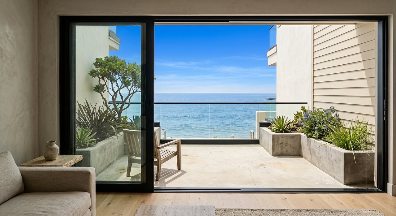
You can tell a lot about a downtown storefront by looking at the curb in front of it. In Atascadero, parking type, crosswalks, and signal timing shape how easily customers arrive, how safe they feel, and how often they return. If you are weighing locations, reading these “street cues” can protect your investment and elevate daily sales. Below is a practical, local guide to help you pick the best downtown site for your goals. Let’s dive in.
Why parking and signals matter
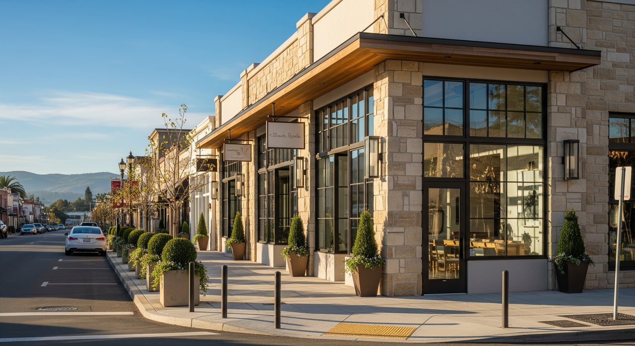
A changed El Camino Real
The City’s El Camino Real Downtown Safety and Parking Enhancement Project reshaped the core between Highway 41 and Rosario Avenue. The plan calmed traffic, improved sidewalks and lighting, installed a new signalized crossing at East Mall, and added about 100 new free parking spaces, including clustered ADA stalls and new loading zones. Medians now create two-stage crossings in places, which helps slower walkers and improves comfort. Review the current layout when you evaluate a frontage because older assumptions may no longer apply. City project details
Events and transit amplify foot traffic
Downtown hosts regular draws like the Tamale Festival and Chamber Sip & Shop nights, along with markets that cluster people near Sunken Gardens and City Hall. Sites along event corridors see spikes in walk-ins that can translate into strong weekend numbers. Regional bus service on RTA Route 9 stops along El Camino Real and at the Atascadero Transit Center, which adds steady foot traffic and can reduce parking demand near stops. Check event calendars and route stops as part of your site screen. City event example Chamber events RTA Route 9
What to look for at a storefront
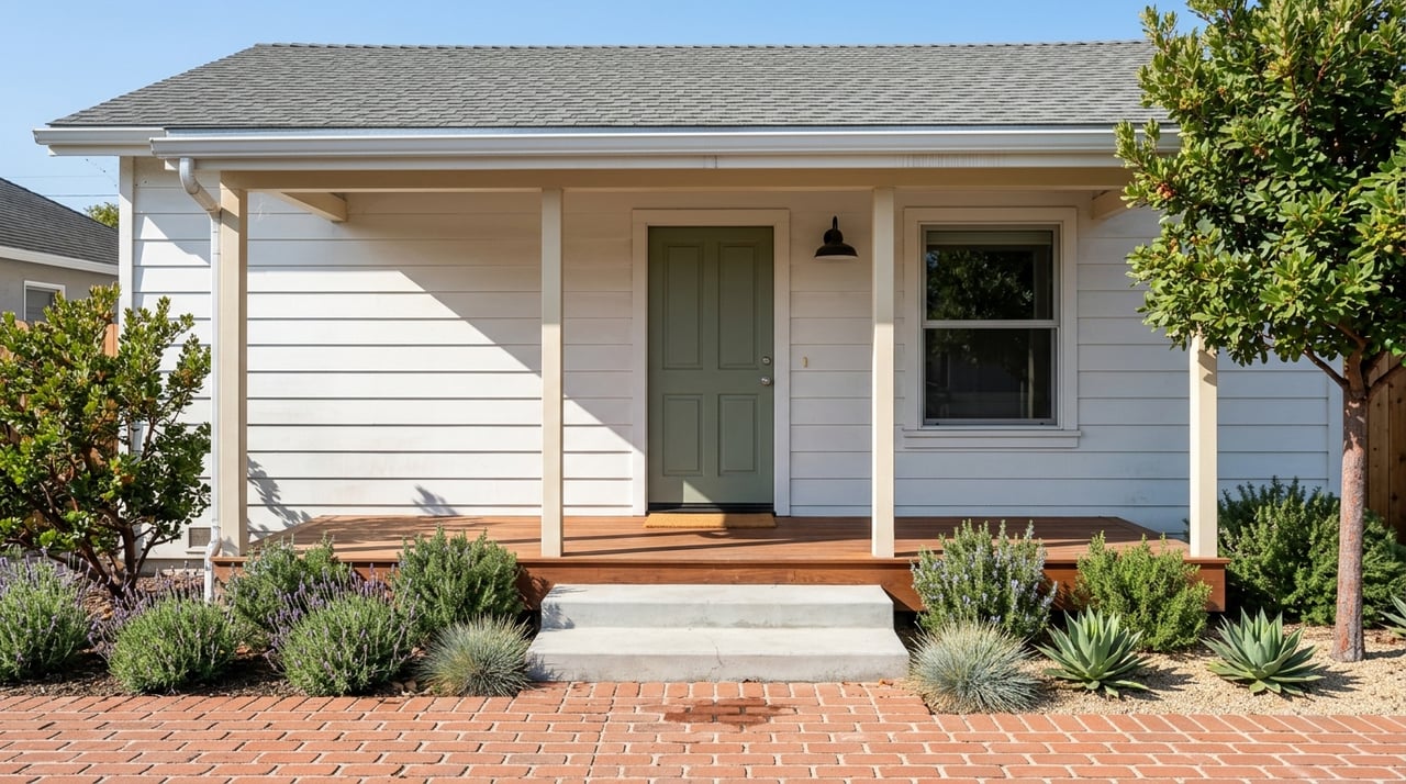
Parking type and turnover
Angle parking often increases short-term capacity compared to parallel stalls, which can boost quick-drop shoppers. Look for posted time limits that keep spaces turning, and note locations of nearby public lots. Confirm ADA stalls and loading zones, especially if you expect deliveries or high turnover. The project installed electrical infrastructure that could support future EV charging, but no chargers were installed, so plan accordingly. Project parking overview
Pedestrian crossings and signals
Signalized crossings and refuge islands make it easier and safer for customers to cross to your door. The East Mall signal adds predictable pedestrian phases that help both sides of the street share foot traffic. Intersections with features like a leading pedestrian interval give walkers a head start, which research shows reduces conflicts and crashes. Safer crossings tend to increase walk-ins across all hours. FHWA LPI research
Nearby generators
Civic anchors like Sunken Gardens and Historic City Hall, plus Atascadero Lake Park, pull steady visitors and host events that push pedestrians along key blocks. Schools within walking distance of El Camino Real create morning and afternoon peaks that can impact curb availability. If your customers include families or students, those peaks can be a positive. For appointment-driven services, you may want to avoid scheduling during the heaviest school windows. City project context
How to evaluate a site
Pre-visit checklist
- Map the frontage using the City’s El Camino Real project materials to spot on-street stalls, medians, ADA spaces, and loading zones.
- Note the nearest RTA Route 9 stops and the Transit Center to gauge non-driving access.
- Pull City and Chamber event calendars to flag days and blocks with amplified demand.
- Review parking requirements and design standards in the municipal code if a change of use is possible. Project materials RTA Route 9 Chamber events Parking standards
On-site observations
Visit at least two weekdays and a weekend during your likely business hours. For school-adjacent sites, also check morning and afternoon peaks. During each visit, count nearby spaces, note posted time limits, and track how full the curb is at 15 to 30 minute intervals. Watch how people cross at the closest crosswalk, including whether signals use pedestrian heads or offer a head start. FHWA counting guidance
Light data you can collect
- Manual counts work. Use 15 minute tally sheets for pedestrians and parked vehicles to see patterns across a few hours.
- For parking turnover, jot down plate fragments and time stamps to learn how long cars stay.
- Ask City Public Works if any recent counts or signal timing sheets exist for your block. They can confirm if a location includes features like refuge islands or special timing. FHWA counting guidance
Where to focus downtown
El Camino Real corridor
This is the primary spine between Highway 41 and Rosario Avenue, with new median parking, updated crosswalks, and a changed lane profile. Evaluate access, visibility, and parking with the current plan, not pre-2024 conditions. Highlight if your frontage is near the East Mall signal or median parking, since both can add convenient access. Current corridor plan
West Mall, Traffic Way, Entrada
These streets cluster retail and dining just off El Camino Real and benefit from cross-shopping, especially during events. Check how many spaces sit within a block or two and where loading occurs. Short-duration curb options can be valuable for quick-service tenants.
Sunken Gardens and City Hall
These civic anchors host festivals, concerts, and markets that lift nearby foot traffic. If your concept thrives on event energy, being within a comfortable walk of Sunken Gardens can pay off. If your model depends on predictable parking, keep a plan for event days when curb demand spikes. Event example
Common pitfalls to avoid
- Using outdated curb counts or lane assumptions instead of the City’s current layout.
- Ignoring loading needs, which can lead to double parking or delayed deliveries.
- Overlooking time limits that affect turnover and quick stops.
- Forgetting event days and school peaks when forecasting demand.
- Skipping ADA stall checks, which affects accessibility and compliance.
Put it to work
A strong downtown site pairs design appeal with frictionless access. By reading the curb, studying crossings, and checking event and transit context, you can select a location that fits your brand and your numbers. If you want a tailored block-by-block short list or help validating parking and foot traffic before you commit, connect with Jordan Jackson for local, design-informed advisory.
FAQs
How did El Camino Real change in 2024 to 2025?
- The City calmed traffic, improved sidewalks and lighting, installed a new East Mall signal, added medians and refuge opportunities, and created about 100 new free parking spaces with added ADA stalls and loading zones. Project overview
What is the impact of the East Mall signal on storefront access?
- A signalized crossing gives predictable walk phases that make it easier and safer for customers to reach your door from both sides of El Camino Real, often boosting cross-street walk-ins. Project details
Do events in Sunken Gardens affect parking and sales?
- Yes, festivals and markets increase short-term foot traffic and parking demand on nearby blocks, which can lift sales if your concept benefits from spikes and you plan staff and inventory accordingly. City event example
How do I measure foot traffic without special tools?
- Use 15 minute manual counts during weekday midday, evening, and weekend midday, then compare totals and peaks; FHWA guidance supports this simple, repeatable approach. FHWA method
Where can I see parking requirements for a change of use?
- Review Atascadero’s municipal code sections on parking and site design to confirm required counts, dimensions, and any eligible reductions or alternatives. Parking standards